
Survey Services
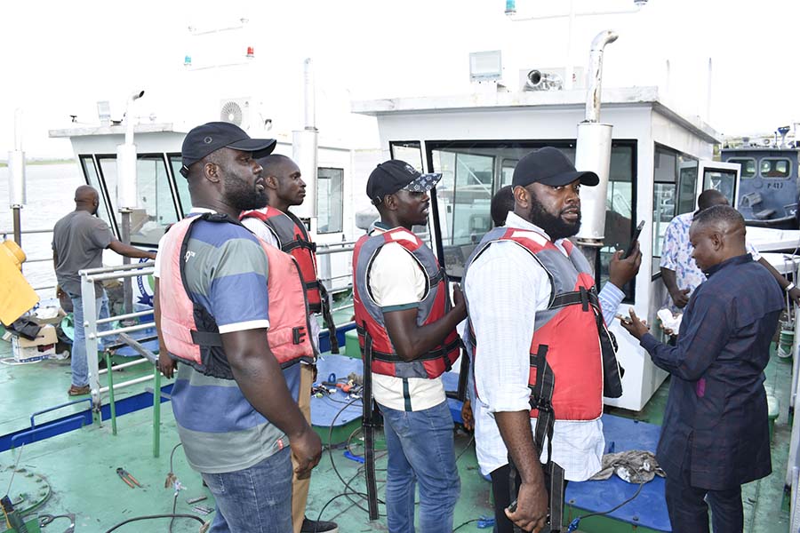
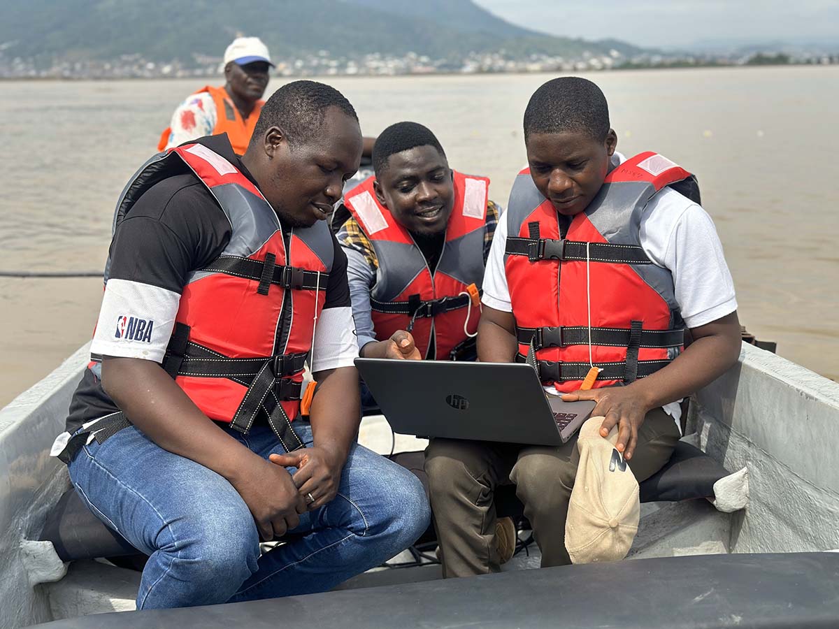
Charting the course for informed decision-making and safe navigation, the Survey Services division of the National Inland Waterways Authority employs cutting-edge technology, scientific expertise, and meticulous attention to detail to map, monitor, and manage Nigeria’s inland waterways. Through hydrographic surveys, bathymetric mapping, and environmental assessments, our team generates invaluable data and insights that inform critical infrastructure projects, navigation safety measures, and environmental conservation efforts.
By maintaining an unwavering commitment to accuracy, integrity, and innovation, we empower stakeholders across sectors to navigate Nigeria’s waterways with confidence while safeguarding the ecological health and vitality of these precious natural resources for future generations.


